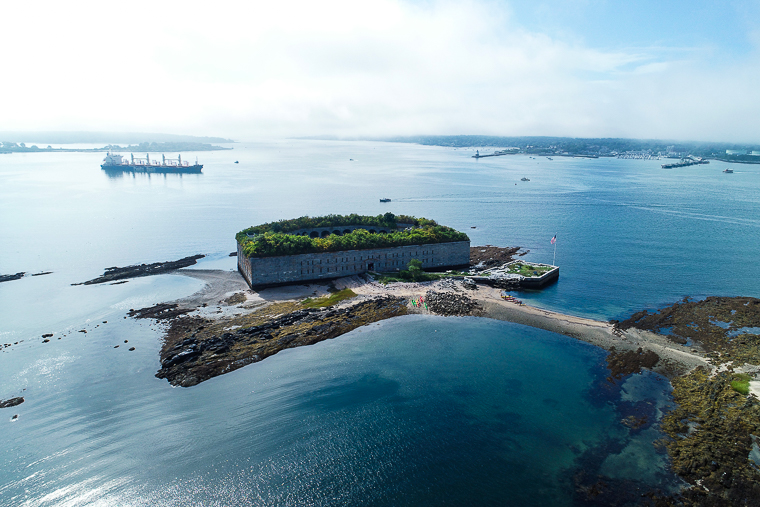
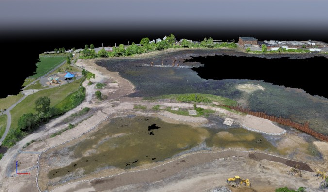
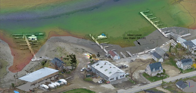
In the depths of Maine winter, always nice to look back at summer photos, and think of warmer weather soon to come. During UAS survey of eelgrass this past summer in Portland Harbor, Maine, we captured this scene of Fort Gorges and receding fog bank. Eelgrass is found all along Maine’s coast. This seagrass is […]
Category: Uncategorized
Aerial Drone Beach Erosion Surveys in Southern Maine
This past week Nearview completed a series of aerial drone beach erosion studies for the Maine Coastal Program. We collected high-resolution elevation data from Maine beaches as part of a sand movement assessment project, and are working to create seamless topo-bathymetry coverage at three important public beaches in southern Maine. Our goal is to develop […]
Multispectral Mapping of Aquatic Invasive Species in Massachusetts
Nearview is collecting multispectral drone imagery to help OARS efficiently and accurately map invasive species along the Assabet, Concord, and Sudbury Rivers in Massachusetts http://www.oars3rivers.org/threats/invasive. Specifically, we are developing spectral signatures and imaging techniques to detect Water Chestnut http://www.oars3rivers.org/threats/invasive/water-chestnut/, which is choking native species, and clogging up waterways and reservoirs. Our aerial imaging and analysis […]
Stefan Claesson certified UAS Mapping Scientist by ASPRS
NOAA’s Hydrographic Services Review Panel held its annual meeting earlier this week in Portsmouth, NH. Substructure was there to demonstrate our hydrographic and maritime archaeological survey capability on survey vessel Mintaka. We will be running multibeam demonstrations through next week. If you are interested in coming aboard to survey the Piscataqua River, and see what […]
Hydrographic and Maritime Archaeological Survey Demo in Portsmouth, NH
NOAA’s Hydrographic Services Review Panel held its annual meeting earlier this week in Portsmouth, NH. Substructure was there to demonstrate our hydrographic and maritime archaeological survey capability on survey vessel Mintaka. We will be running multibeam demonstrations through next week. If you are interested in coming aboard to survey the Piscataqua River, and see what […]
Nearview Completes UAS Survey for Jacobs Engineering Group at New Bedford Superfund Site
Liftoff! Nearview has successfully completed an UAS survey for Jacobs Engineering Group in response to a request for a survey demonstration at the New Bedford Superfund Site in New Bedford, Massachusetts. Jacobs is contracted by the U.S. Army Corps of Engineers (USACE) to perform remedial actions at the U.S. Environmental Protection Agency (EPA) managed New […]
Nearview and Substructure offer clients high-resolution, seamless topo-bathy products for mapping shorelines and the land-water interface
Capturing and developing seamless high-resolution nearshore, foreshore, and backshore topo-bathy digital surface and elevation models in the past has proved extremely challenging. Although NOAA Office for Coastal Management’s coastal LiDAR data sets provide critical elevation data required to produce datum-based shorelines, bathymetric points collected via Joint Airborne Lidar Bathymetry Technical Center of Expertise (JALBTCX) are […]
Nearview partners with ReVision Energy to provide solar site assessments, shade analysis, and PV module inspections
Nearview, LLC is excited to announce that it will be working with ReVision Energy, a certified B-Corp that is leading the New England regional clean energy transition by designing and installing solar energy systems, heat pumps, battery storage and electric vehicle charging stations. To help ReVision streamline its rooftop solar installations and keep employees safely […]