Aerial Drone Beach Erosion Surveys in Southern Maine
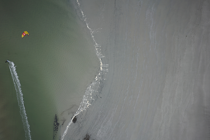 Kite surfer enters camera frame during aerial drone beach erosion survey on a blustery October day in Scarborough, Maine.
This past week Nearview completed a series of aerial drone beach erosion studies for the Maine Coastal Program. We collected high-resolution elevation data from Maine beaches as part of a sand movement assessment project, and are working to create seamless topo-bathymetry coverage at three important public beaches in southern Maine. Our goal is to develop a methodology to document the results of beach nourishment efforts and to map the ultimate deposition of nearshore disposal materials.