Nearview awarded NOAA SBIR Phase I grant
 Nearview awarded NOAA grant to build an "AI Model for Automated Detection and Mapping of Intertidal Vegetation"
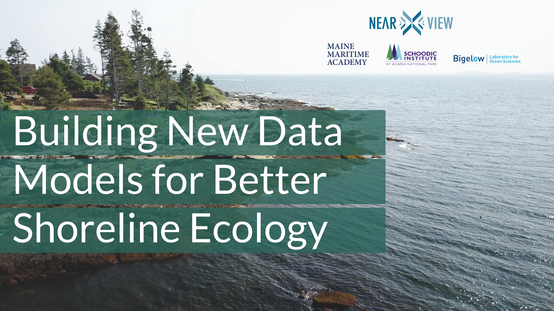
Nearview is a leader in aerial drone remote sensing and analysis of the coastal environment. We are proud to announce that we have been selected as a NOAA SBIR Phase I grant recipient to develop an “AI Model for Automated Detection and Mapping of Intertidal Vegetation.” We are leveraging drone technology and computer-aided learning to build a platform from which stakeholders (e.g., harvesters and fishers, conservation groups, government agencies, municipalities, environmental scientists, coastal engineers, and private property owners) can map intertidal resources.
Our work allows greater accessibility to important information needed to detect and map changes in the intertidal zone – changes that can result from warming oceans, sea-level rise, and other human impacts such as coastal development, pollution, and overharvesting of resources. The data we capture from our aerial surveys gives stakeholders a clear and commanding view to map the where and how much, allowing for better decision-making, ensuring the sustainability of resources, and helping to build resilient coastal communities.
This is an exciting announcement for us, and we are looking forward to working alongside our project partners at Maine Maritime Academy, Bigelow Ocean Laboratory, UVM Spatial Analysis Laboratory, and the University of New Hampshire. Props to @hannah.m.webber @schoodicinst for contributing to this project and playing a starring role in the video posted here.
Help us spread the word! Give us a share and follow us to stay up-to-date about the impact we have in communities up and down the coast.
#mma_oceanstudies #bigelowlab #uvm-sal #unh #dronesforgood #conservation #marinescience #intertidal #blueeconomy #macroalgae #seaweed #drones #deeplearning #NOAAinnovate #sbir #nearviewllc