Change Your World View
Aerial drone environmental services & solutions by Nearview
Accuracy-oriented
We’ve got you covered — from upfront consulting to surveying, mapping, analysis, monitoring, and more.
All ServicesScience-driven
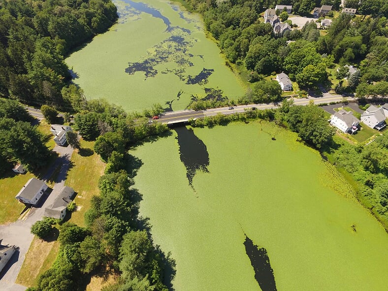
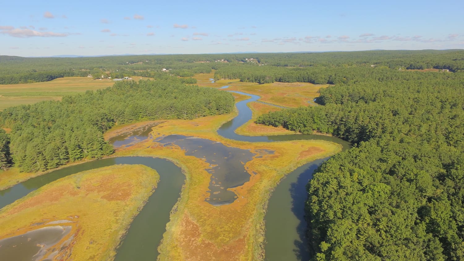
We specialize in using drones to help scientists, engineers, researchers, and environmental advocates study, understand, and respond to the world around us.
Solutions by Industry
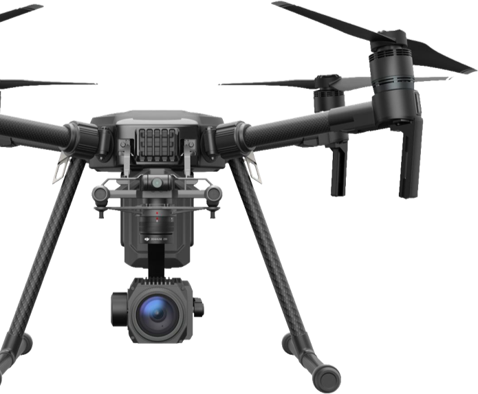
Passion-powered
We’re driven to make a difference in our environments and communities.
About Nearview
natural resources
A healthy and diverse natural environment is vital to the well-being of our cities and communities. Nearview puts its aerial drone technology to work documenting and monitoring ecosystem health and natural resources that are found in wetlands, forests, and along our shores.

Cultural Resources
Historic buildings and archaeological sites are under constant threat by development, sprawl, and climate impacts. These resources are part of our fabric and day-to-day lives – where we live, work, and vacation. Nearview leverages drone technology to document cultural resources so that future generations can know the incredible story of human achievement.

advocacy.
Before making intelligent decisions about our cultural and natural resources, we need precise and accurate information. Nearview is committed to providing high-resolution imagery and data that supports sustainable development, environmental justice, and the well-being of us humans.